Council uses flood camera footage to provide an accurate picture of the flood status at various locations near Lockhart River.
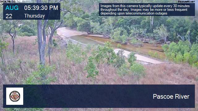
- Pascoe River Flood Camera
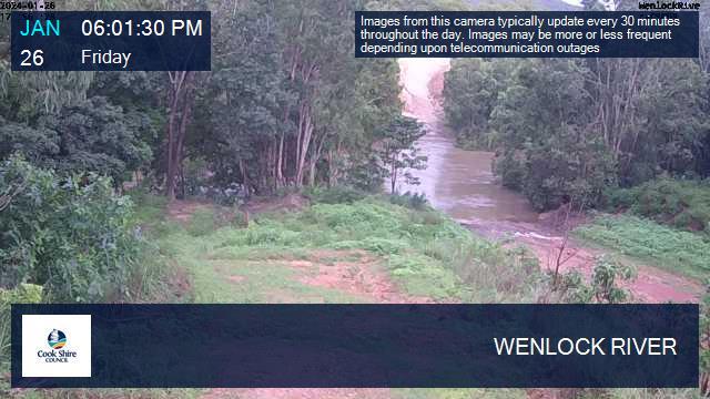
- Wenlock River Flood Camera [Please contact Cook Shire Council for more information]
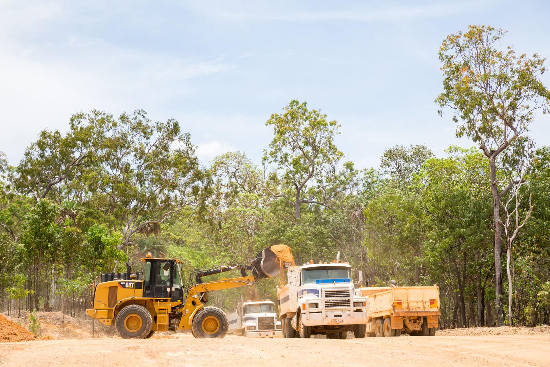
The Lockhart River Aboriginal Shire Council’s Engineering Services Department ensures that all of the roads within its area of responsibility, essentially those within the Lockhart River community, are sealed and well maintained.
Road access to the community is, however, via unsealed, gravel roads, requiring users to take extreme care and drive according to the prevailing road conditions, which can vary significantly depending on environmental factors such as heavy rainfall.
Lockhart River has two seasons; wet and dry. During the dry season (generally between June to mid-November), roads linking Lockhart River to Cairns, Coen, Weipa, Portland Roads and Bamaga are usually accessible. Between December and May, however, heavy rains brought in by the monsoon will cause roads to be impassable. It is not uncommon for the Lockhart River community to be inaccessible by road for many months of the year.
Four-wheel drive vehicles are the most reliable form of vehicular transport in Cape York Peninsula and often are the only way of getting in and out of Lockhart River by road.
Contact Details
Civil Works (Engineering)
Phone
Mobile
0407 236 868 / 0428 781 016
Fax
07 4060 7388
Contact Details
Cairns Office
Phone: 07 4031 0155
Fax: 07 4031 5720
Address: 7 Anderson St , Manunda QLD 4870
Email: reception@lockhart.qld.gov.au
CALL CAIRNS OFFICE
Contact Details
Lockhart River Office
Phone: 07 4060 7144
Fax: 07 4060 7139
Address: Maathuy Street, Lockhart River QLD 4892
Email: reception2@lockhart.qld.gov.au
CALL LOCKHART RIVER OFFICE